Topographical Survey
A topographical survey (land survey) provides an accurate digital representation of a predefined area of land and all natural and man-made features within it. Topographical surveys are the start point for a huge variety of projects and are vital in supporting a case for proposed building or landscaping work, planning applications, highway design, tree surveys & many more. As projects can vary, our service can be tailored to suit the client needs.
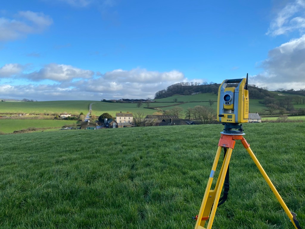
The survey will be issued as a scaled PDF drawing and will typically show all site features with their corresponding levels, which will be to either local site datum or to ordnance datum & to either local or national grid. All topographical survey work is carried out using the latest GNSS and robotic total station technology to produce a high-quality end product.
Measured Building Survey
A measured building survey is an accurate representation of a building showing both structural & architectural elements. This service can be defined in three main areas:
- Floor plans – these typically measure the building layout, door/window opening positions, structural beams etc. All measured features come with relative heights i.e. cill/head heights for windows, door heights, ceiling heights & underside beam details.
- Elevation Survey – this will include detailed drawings of the building facades showing key details such as roof detail, structural openings, rainwater goods, ground levels.
- Cross sections – these will provide a slice through at specific locations in the building to help visualise various elements such as structural wall positions & voids between the ceiling and floor above.
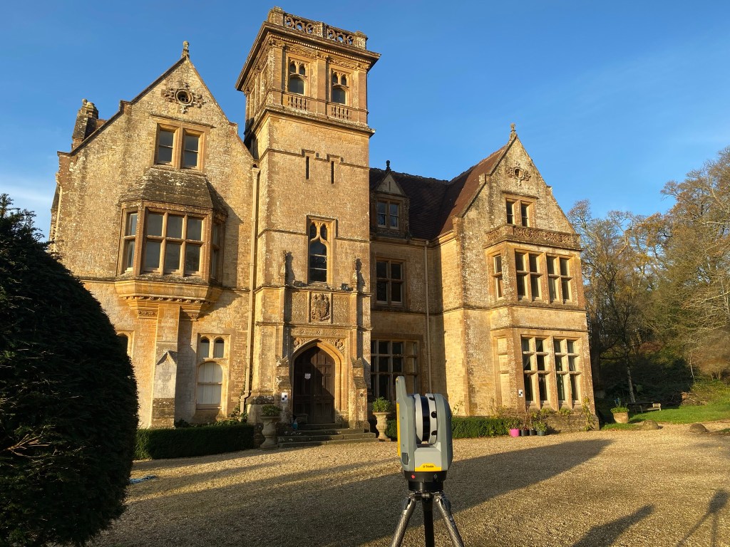
Measured building surveys are carried out for a number of reasons including structural changes, property refurbishment, lease plans, rights of light, party wall issues, historical records etc. Each survey can be tailored to meet specific requirements of the client. The survey data will be issued as a scaled PDF drawing or an AutoCAD 2D drawing if requested.
Utilising the latest in data capture technology including 3D laser scanners and reflectorless total stations, we can provide you a complete measured building survey service which can also be used in conjunction with a topographical survey.
Site Engineering
Our site engineering service ensures we take the concept/design of the project and work with the on-site team to make the design a reality.
Site engineering is a dynamic field which covers a broad spectrum of disciplines which include:
- Setting Out – this is the main service we are often required for; it involves the accurate horizontal & vertical positioning of construction elements which include piling, earthworks, groundworks, foundations, datums and finished floor levels.
- Survey Control – we can establish site wide survey control; this is the basis for any measurement or setting out.
- Volume Calculations – provide accurate measurements of stock piles or materials that need to be moved and relocated elsewhere to make up ground levels.
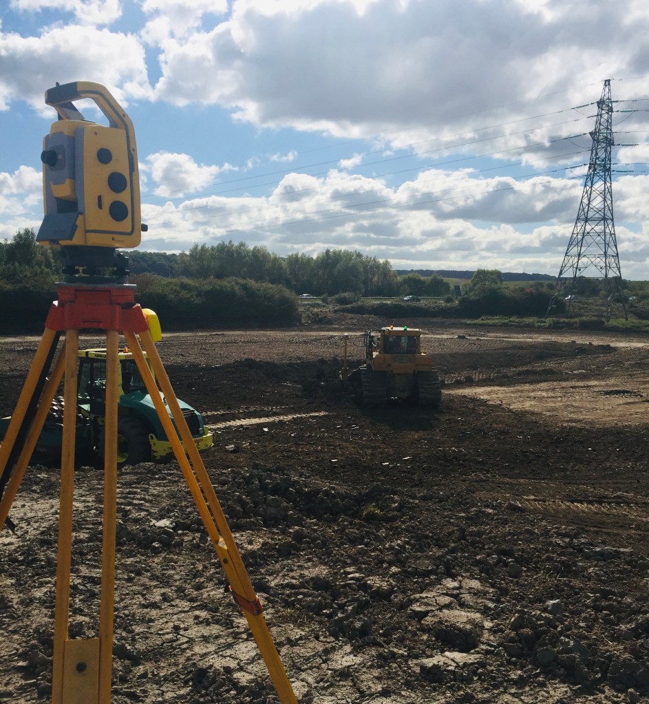
Site engineering is carried out using the latest in robotic total station & GPS technology to ensure your project stays on time and on budget.
